Environment Canada has issued multiple blowing snow warnings across key regions, urging caution amid hazardous winter conditions. These alerts highlight risks of near-zero visibility and dangerous travel, especially as frigid Arctic air grips central Canada.
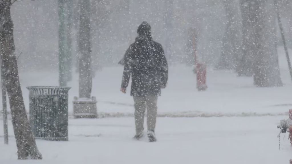
Strong winds whip loose snow into blinding drifts, affecting drivers and outdoor workers. Officials stress preparation to avoid life-threatening situations.
Key Highlights
- Active Regions: Sarnia-Petrolia-Western Lambton County (yellow advisory); Simcoe County including Barrie; Montréal showing light snow and blowing snow.
- Wind Gusts: Up to 70-80 km/h, causing significantly reduced visibility.
- Timing: Many warnings start afternoons or evenings, persisting overnight into mornings.
- Temperatures: Wind chills near -30°C in affected areas, raising frostbite risks.
- Impacts: Hazardous travel, possible road closures, and advice to postpone non-essential trips.
Latest News and Announcement Details
Environment Canada updated its colour-coded alerts recently, with yellow-level blowing snow advisories in effect for southwestern Ontario. In Sarnia, strong northwesterly winds began building Thursday afternoon, leading to blowing snow through Friday.

Simcoe County faces ongoing warnings into the weekend, combining blowing snow with extreme cold. Snow squalls hit Parry Sound and Huntsville areas, delivering bursts of heavy snow and winds up to 80 km/h.
Current observations confirm the threats: Montréal reports light snow and blowing snow at -16°C, while Ottawa sees light snowshowers and drifting snow at -19°C. These conditions align with Environment Canada’s high-confidence forecasts for moderate impacts.
Background Information
Blowing snow advisories activate when winds of at least 50 km/h reduce visibility to 800 metres or less for three hours. Environment Canada distinguishes this from snowfall warnings (15+ cm in 12 hours) or blizzards (visibility under 400m with 40+ km/h winds).
Recent patterns trace to Arctic fronts sweeping southeast. Earlier in February, similar squalls blanketed Barrie regions, while January storms dumped 15-25 cm in eastern areas.
January 2026 saw prolonged high-impact snow in multiple provinces, setting the stage for these persistent winter hazards. Officials note lake-effect snow from Huron intermittently worsens blowing conditions in open fields.
Impact on Public and Travel
Drivers face the biggest risks, with near-zero visibility prompting road closure warnings. In Lambton County, authorities advise emergency vehicle kits including blankets and jumper cables.
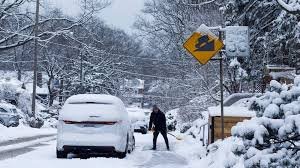
Communities like Sarnia report hazardous walkways and potential power disruptions from gusts. Cold snaps amplify dangers, as wind chills hit minus 30s, exposing skin to frostbite in minutes.
Rural and exposed roads near fields suffer most, where snow drifts rapidly. Emergency services urge staying indoors or sheltered if stranded.
Industry and Economic Effects
Transportation sectors halt operations during peaks. Highway 401 and 400 corridors see slowed traffic, mirroring past closures in Ontario.
Agriculture in Lambton and Simcoe faces challenges, with winds damaging unprotected crops or equipment. Delivery services delay, impacting supply chains.
Energy demands spike for heating, straining grids amid outages from heavy snow loads. Recent Atlantic storms showed similar patterns, causing ferry cancellations and school shutdowns.
Expert Insights and Future Expectations
Meteorologists at Environment Canada predict easing winds by Saturday in some areas, but monitor for squall returns. “Travel will likely remain hazardous until conditions improve,” states a recent advisory.
Experts recommend checking weather.gc.ca for real-time updates and reporting severe conditions via weather.gc.ca Future outlooks hint at milder western trends, but central cold persists.
Industry voices, like Barrie forecasters, warn of prolonged frigid spells raising health alerts. No major shifts expected before next week.
Important Facts and Safety Data
- Frostbite Signs: Numbness, tingling, skin color changes—warm indoors immediately.
- Vehicle Prep: Extra fuel, kit with food, water, flashlight.
- Reporting: Use #ONStorm on X or email for updates.
Montréal: -16°C with blowing snow; Ottawa: -19°C drifting snow; Sarnia: Gusts to 70 km/h.
Final Analysis
Blowing snow warnings from Environment Canada signal serious winter threats across Ontario and Quebec, demanding vigilance from residents. Proactive measures like monitoring alerts and preparing kits mitigate risks effectively.
As conditions evolve, staying informed via official channels ensures safety. Canadians brace for typical February volatility, but these alerts underscore winter’s unrelenting grip.